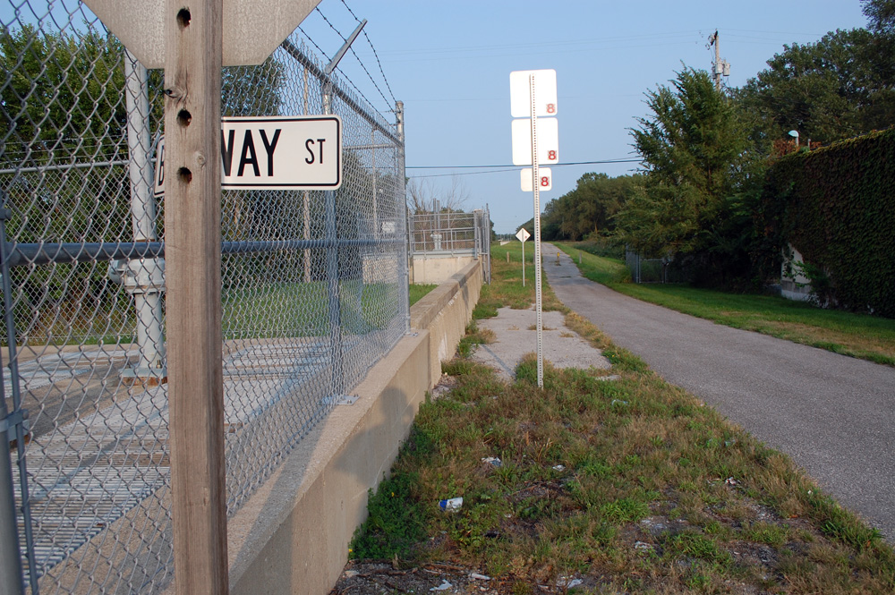
Segment of the Gary South Levee at Broadway
Will the levees hold? Key to redevelopment of Gleason Park
Contributed By:The 411 News
Growth pattern in northwest Indiana has always been to build on land and protect it from flooding
Gary got its start in a flood plain when the Carnegie Corporation chose to reclaim the shores of Lake Michigan to construct U.S. Steel. And other developers soon followed. It became a pattern for growth in northwest Indiana for communities along the lake, from Whiting to Michigan City, to build on land and protect it from flooding.
Gary's intent to sell Gleason Park and Gilroy Stadium, situated in the city's center and in the flood plain of the Little Calumet River is another attempt at growth.
The city hopes to remove up to 1,000 acres of land along the Little Calumet River from the regulatory floodplain. If successful, the project will benefit thousands of property owners in Gary by eliminating the requirement to purchase flood insurance.
The new initiative will also seek to enable future development opportunities with the potential to create thousands of jobs for local Gary residents and millions of dollars in annual tax revenue for the city and local schools.
When the city's Redevelopment Commission announced the pending sale of the properties to Bradford Real Estate, a Chicago-based company, the commission's chairman Eric Reaves said he didn't know how the land would be used.
Reaves told the commission Bradford didn't disclose the land use. "All I can say is some possible uses are a distribution center and light manufacturing."
Bradford's $9 million purchase offer for the golf course and stadium are contingent on the results of engineering and feasibility studies.
Bradford wants to know will the levees hold back the waters when the Little Calumet River overflows from rain. And what kind of soil is underneath the park and stadium – is it stable enough to undergo development. What are the levels of the underground water tables?
In an overview of the project released by the redevelopment commission, the city agreed to a partnership with Bradford because the firm will pay the cost of the studies, estimated at $200,000 to $500,000.
The city must acquire FEMA certification for the Gary North and Gary South levees, segments of the Little Calumet River Basin system of levees, pumping stations and flood gates. The system protects Munster, Hammond, Highland, Griffith and Gary from flooding.
“We’ve been expecting this type of development in Gary for a couple of years,” said Dan Repay, Executive Director of the Little Calumet River Basin Development Commission. “Developers have asked us when Gary will get ready.”
Levees in Munster, Hammond, and Highland have FEMA certification. Several thousand structures along the Little Calumet River in those communities have been removed from the flood plain. Property owners no longer have to purchase costly flood insurance because there is only a 1% chance in 100 years that the river will overflow the levees.
Repay said property owners in those communities have saved over $4 million in flood insurance premiums since their levees were certified. Certification means the levees are without deficiencies. Gary's levees have not been certified although they were built first.
In Gary, the LCRBDC has worked with the U.S. Army Corps of Engineers to heighten bridges at 35th and Chase, Harrison and Georgia streets. “Now it looks like a developer is getting involved. That is good and will help put Gary over the goal line,” Repay said.
In July, the Gary Redevelopment Commission hired Christopher Burke Engineering to begin the studies. Burke has assisted dozens of other municipalities with similar projects including Hammond, Highland and Munster.
New developments along Hammond and Highland's edges of the Little Calumet River show a Cabela's, a WalMart, hotels, office buildings, and other businesses.
The engineering and feasibility studies are expected to take four to 6 months. According to the overview, during this time, Bradford and the city will initiate discussions with the community on potential uses.
The Gary South levee will be examined first since it is closest to the golf course and stadium.
The studies will resolve the unknowns. Can the site be removed from the floodplain? What is the available acreage? When will the site be available? What type of construction is feasible on the soil? What additional infrastructure is required? What type of development does the community want?
Repay said the study will be a collaboration between FEMA, Army Corps of Engineers, and Indiana Dept. of Natural Resources.
Story Posted:09/15/2020
|